
Munnar to Vattavada: distance, route and stops
Vattavada is about 45 km from Munnar by road. Allow around two hours: the road climbs most of the way, past Mattupetty Dam, Kundala Dam and Top Station, then through Pampadum Shola forest. Munnar has the last fuel before the hill, and the forest checkpost closes at 6 PM, so plan to arrive before then.
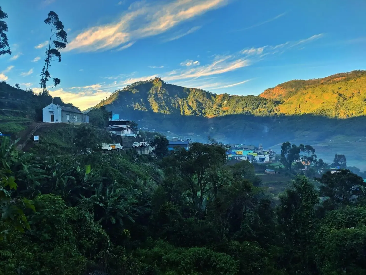
The route at a glance
- Distance: about 45 km
- Time: around 2 hours, plus stops
- Last fuel: Munnar
- Forest checkpost: at the Pampadum Shola entrance, about 7 km before Vattavada; closes at 6 PM
- Directions: Open in Google Maps
Stops on the way
| Approx. km from Munnar | Stop | What’s there |
|---|---|---|
| 0 | Munnar | Last fuel before the hill |
| 5 | Photo Point | The tea slopes open up |
| 11 | Mattupetty Dam | Boating; elephants are sometimes seen near the water at dusk |
| 12 | Echo Point | The lake throws your voice back |
| 24 | Kundala Dam | A lake lined with cherry blossom trees, which flower in season |
| 26 | Vellappetty | The first carrot and cabbage terraces |
| 34 | Top Station | The old ropeway lookout over the Tamil Nadu side |
| 37 | Pampadum Shola National Park | Forest checkpost (closes 6 PM). Kerala’s smallest national park, about 1.3 km²; stay in your vehicle in the forest |
| 45 | Vattavada | Brooklyn Holidays, Edamanal, Koviloor |
Driving tips
- Daylight: drive in daylight; it’s a winding hill road.
- Monsoon: from June to September, check conditions before you set out.
- Forest: don’t stop, don’t feed animals and stay in your vehicle.
- Parking: cars reach the house, and parking is free.
Coming from Kochi
Cochin International Airport and Aluva railway station are each about 150 km from Vattavada. Allow 5 to 6 hours by road: Kochi to Munnar first, then the 45 km up.
Frequently asked questions
How long does it take from Munnar to Vattavada?
Around two hours for about 45 km, plus any stops.
Is there a forest checkpost on the way?
Yes, at the Pampadum Shola entrance, about 7 km before Vattavada. It closes at 6 PM, so plan to arrive before then.
Can a normal car reach Vattavada?
Yes. Cars reach the house, and there’s free parking for cars and jeeps.
Where should I fill fuel?
In Munnar. It’s the last fuel before the hill.
What can I see on the way?
Mattupetty Dam, Echo Point, Kundala Dam, Top Station and Pampadum Shola forest.